
Start the conversation
Contact us today to see how you could benefit from our services, technology and marine expertise

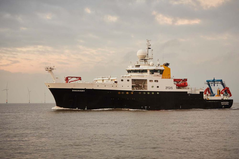
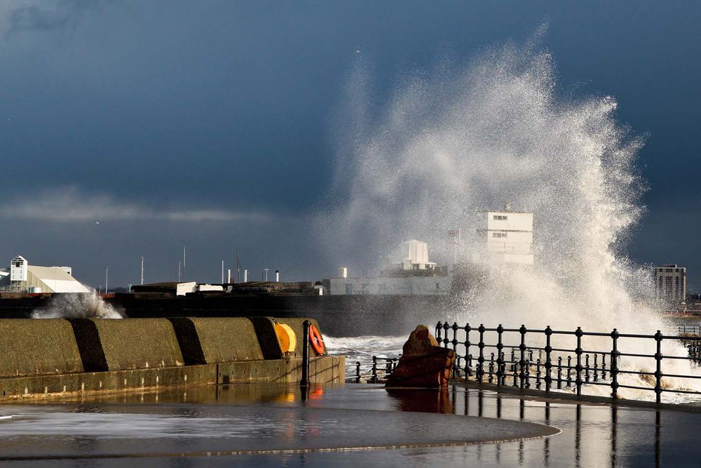
Reliable tidal forecasting tools for ports, harbours and offshore operations
With a rich heritage of tidal prediction stretching back over 100 years we are world leaders in tide prediction software.
Our tide prediction software suite has made marine tidal data easily available to customers for the past 30 years.
Our easy-to-use tidal software applications include:
With our Polpred software, offshore operators can view accurate tidal current and elevation predictions for any given location where they are planning to work.
For those requiring the most accurate tidal predictions at UK Ports and Harbours, our Poltips tide software calculates accurate astronomical tidal predictions for over 700 ports and enables you to produce print ready full tide tables and graphical representations.
If you already have tide gauge data, you can use our TASK software to conduct harmonic analysis with ease and accuracy.
All of our marine software utilises the widely recognized harmonic method of tidal prediction that was developed here at the National Oceanography Centre over 75 years ago.
In addition we also offer our customers free advice and support to ensure our easy to use software is configured and optimised to your needs with the appropriate models, data layers and timeframes, all calibrated to your requirements.
We know that not everyone wants to purchase software and run their own reports. As an alternative, we have a team of experienced consultants who can provide you with the data you need. We can also supply you with print ready tide table data for over 700 UK Ports in a wide variety of layouts. Just let us know what port or ports you are interested in and we will tell you what options are available.
We work closely with the UK Hydrographic Office to ensure that both parties have access to the best tidal information which is essential for the safety implications for the maritime industry as a whole.
Our client base, for both tidal software and consultancy, is extremely diverse.
Layton Quinton
Head of Marine Information Products & Services
It includes such organisations as the Environment Agency, the Hydrographic Office, the Met Office, the RNLI, local government, academic/research organisations, ports and harbours, offshore renewable companies, oil and gas suppliers, offshore survey companies, maritime investigation and law enforcement agencies, publishers and more.
Whether you are looking for tide information, consultancy, a report with specific data or easy to use reliable software we have solutions and tide calculations that can provide you with unrivalled accuracy in understanding and predicting ocean currents both offshore and in coastal regions.
Our software and services are designed to be highly flexible and to be configured to meet your specific requirements.
No. Although most places in Britain experience approximately two high tides a day, there are some places which experience a double-high water (e.g. Southampton) or double-low water (e.g. Portland). This is caused by the shape of the coastline and the water depth.
Yes you can either do this using our TASK software or you can send us your data for us to complete the analysis for you.
This is determined by license you purchase from us, but as we know the position of the Moon and the Sun very accurately, we are able to compute the tides many years ahead (or into the past).
Tides are caused purely by the moon, the sun and the coastline and seabed topography. Unless the shape of the coastline or seabed changes dramatically, the tides can be predicted accurately many years in advance.
Polpred is an international product. You can find details of our core models here on our knowledge base but we are developing new models all the time so it is best to email us your requirements and we’ll be in touch to help.
Please tell us the latitude and longitude coordinates of the area(s) you require information for along with the date range you want to be able to make predictions and we will be able to supply a quote.
One of the components of sea-level caused by meteorological effects such as prolonged winds, changes in atmospheric pressure etc. Surges are not easily predicted, requiring accurate weather forecasts and complex computer models of the seas and oceans.
Tide tables do not take account of storm surges which is why they may differ from the observed sea-level on the day.
Simply let us know how you wish to use the outputs from the software. If you wish to publish them and sell the information you will require a publisher’s version, but for most users the standard version will be the best one to use.
customers globally for software products
We have been providing tide predictions for over 100 years.
Layton Quinton
Head of Marine Information Products & Services
We’ve developed software that helps you visualise and predict offshore tides around the world
We’ll show you how to use Poltips: the software built for coastal tide forecasting by the world’s best coastal tide forecasters
Harness the best data on offshore tidal currents and water elevations through our cloud-based Marine Services Platform
TASK is our complete software solution for the harmonic analysis of tidal data and the prediction of tides
We will help you predict the tides, enhance regional modelling, and access marine tidal data in the format you want
With our tidal API, you’ll be able to provide and utilise the best marine tidal data in the right context